Last updated 1.9.2026
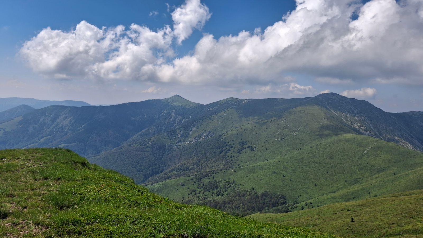
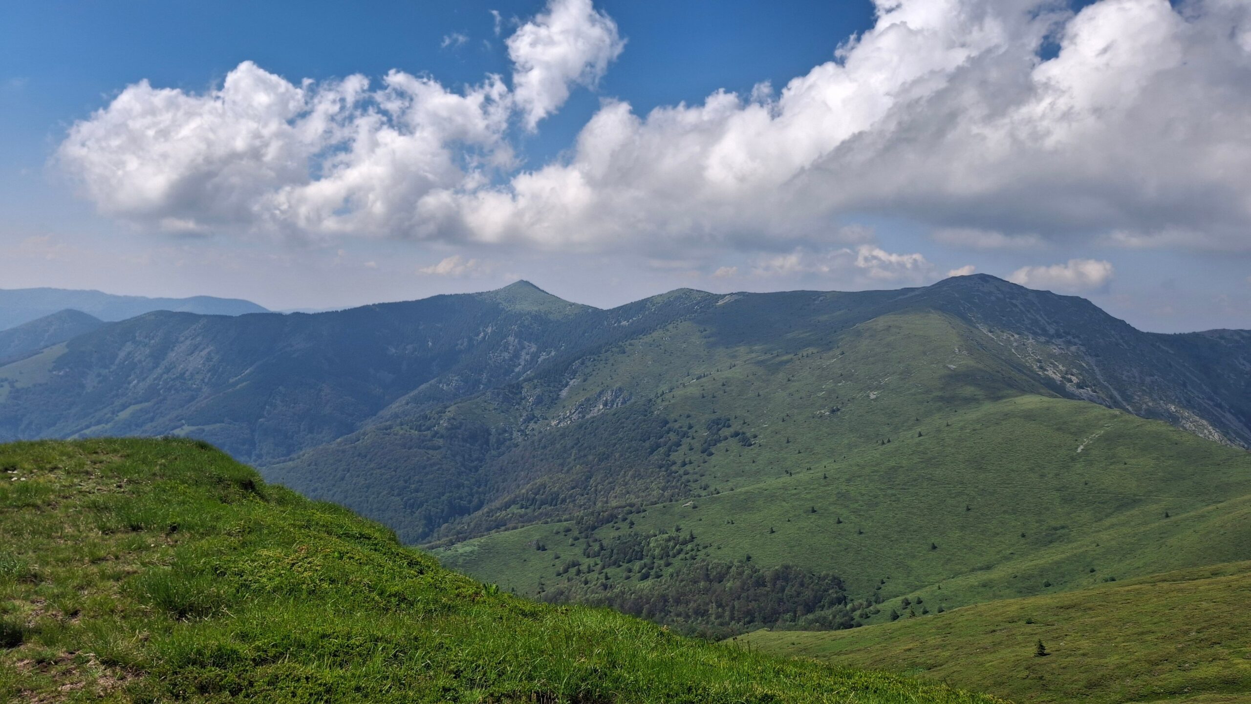
Veľká Fatra hiking is what you come to central Slovakia for once you have had enough of queueing on chains. The name means “the Greater Fatra” (it is often written Velka Fatra, without the diacritics, and pronounced roughly VEL-ka FAT-ra), and the range earns it: it is bigger than its famous neighbour, far quieter, and built on a completely different plan. Instead of rock spires you get hole — broad, treeless grass ridges that roll along at around 1,500 metres for tens of kilometres — and, cut into their western flank, a series of deep limestone valleys. The highest summit, Ostredok, reaches 1,596 m.
Two quick pieces of housekeeping, because search engines muddle all three. This is not the Malá Fatra, the smaller, rockier, much busier range just to the north-west across the Turiec basin, with the Jánošíkove diery gorges and Veľký Rozsutec. And it is nothing to do with Veľká Rača, which is a ski resort on the Polish border and simply has a similar-sounding name.
Below are 18 walks and days out, from a pushchair-friendly valley track to a full day on the main crest, plus the practical things nobody tells you before you arrive: what parking costs, which valleys you may not drive into, how to get here by train, what the national park rules actually forbid, and what to do about bears.
Veľká Fatra hiking at a glance
- Where: central Slovakia, in the square between Martin, Ružomberok, Turčianske Teplice and Banská Bystrica.
- Highest summit: Ostredok, 1,596 m. Then Frčkov (1,585 m), Krížna (1,574 m), Rakytov (1,567 m), Ploská (1,532 m), Smrekovica (1,530 m) and Borišov (1,510 m).
- National park: declared in 2002, 40,371 hectares plus a buffer zone of a further 26,132 ha. Walking, camping and bivouacking away from the waymarked paths are all prohibited.
- Best bases and trailheads: Blatnica (for the Gaderská and Blatnická valleys), Necpaly, Turecká, Kráľova studňa, Horný Harmanec and Ružomberok.
- Parking in Blatnica: €4 a day at the manor house car park, €6 a day at the mouth of the Gaderská valley (about £3.40 and £5).
- When to go: late May into June, and the second half of September. The ridges are walkable in winter, but that is experienced-only territory.
- With a family: the surfaced track up the Gaderská valley takes an all-terrain pushchair, and Blatnický hrad castle is under an hour above the village.
- Getting here: nearest airports Ostrava (110 km), Katowice (185 km), Bratislava (200 km), Kraków (200 km) and Vienna (250 km); trains to Martin and Ružomberok on the main Žilina–Košice line.
- Emergencies: Slovak mountain rescue on 18 300, or 112.
Veľká Fatra or Malá Fatra? The difference that decides your trip
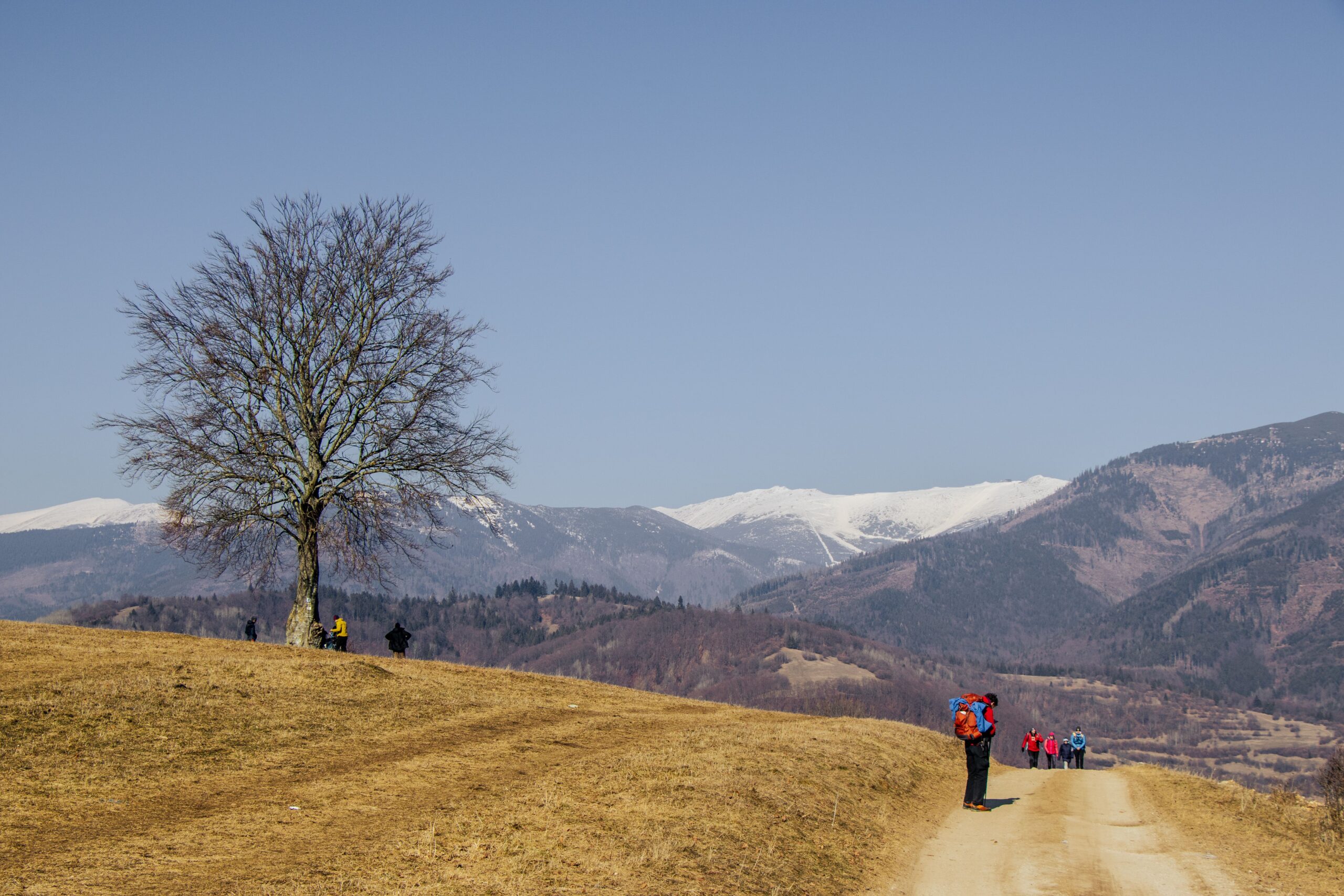
British walkers who have heard of one Slovak range have usually heard of the Malá Fatra: sharp, rocky, spectacular, and on a fine Saturday in August rather like Snowdon. The Veľká Fatra is the opposite temperament. The main crest runs for some fifty kilometres across open grassland with the Low Tatras on one side and the Malá Fatra on the other, and you can walk for hours and meet a dozen people.
The second thing that defines the range is its limestone valleys, sliced into the western side above the Turiec basin: Gaderská, Blatnická, Necpalská and Belianska. Each has a firm track running up it, each is shaded and cool, and they are what you do on the days when the tops are in cloud or the legs have had enough.
The trade-off is logistics. The Veľká Fatra asks more of your planning than the Malá Fatra does. The crest is a long way from any road, huts are few and far between, and a great many walks here are out-and-back on the same path, simply because turning them into a circuit would mean twenty kilometres or more. Bus services into the valleys are thin, particularly at weekends.
One further difference matters if you are visiting in spring. In the Malá Fatra a number of paths, including the traverse over Veľký Rozsutec, close every year from 1 March to 15 June. No such blanket seasonal closure has been confirmed for the Veľká Fatra — individual sections can still be shut at short notice for forestry work or wildlife protection, and those closures are posted at the trailheads, but you are not facing a three-and-a-half-month lockout of the main ridge.
When to go, and what the weather does up here
The walking season runs from late May to October. The two sweet spots are the turn of May and June, when the grass ridges flower and the crocuses and the endemic Cyclamen fatrense are out, and the second half of September, when the beech woods turn and the weather settles.
July and August are the warmest and the most awkward. Up on the grassy tops there is no shade whatsoever and no shelter from a storm; the tree line can be an hour’s walk away. Afternoon thunderstorms build fast in high summer, which is the single best argument for the alpine habit of starting at seven and being off the tops by three. In winter the same open ground becomes a snow plateau with no landmarks — beautiful, and unforgiving.
Two things surprise visitors from Britain. The first is that Slovak signposts give times in hours, not distances in kilometres, and those times assume a steady walker with a light pack and no stops. The second is that the ascents are bigger than the modest altitudes suggest: the standard route up Krížna from the valley climbs over 1,000 metres, which is more than Scafell Pike from Wasdale Head and roughly what Ben Nevis asks of you from the Glen Nevis path.
💡 Tip: Start early on the ridge. Summer storms build quickly, and between Krížna and Ploská there is nowhere to duck out — the nearest trees can be an hour away.
18 hikes and days out in the Veľká Fatra
They are ordered roughly from the high ridge downwards into the valleys, with the wet-weather and rest-day options at the end. Slovak names are given as they appear on the signposts, with a translation the first time.
1. Ostredok (1,596 m): the highest summit in the range
The high point of the Veľká Fatra — 1,595.58 m to be exact, and rounded to 1,596 m; older maps and guidebooks say 1,592 m, which was the accepted figure until a resurvey in 2016 — is an unassuming grassy hump on the main crest between Krížna and Ploská. That is precisely why the view from it is so good: nothing gets in the way. The logical approach is from the Kráľova studňa hotel along the red-waymarked crest path over Krížna, roughly 6 to 7 km one way. From Chata pod Borišovom (the hut below Borišov) allow about three hours.
2. Krížna (1,574 m): the classic ascent
A broad grassy top with a full 360-degree view, and the single most popular objective in the range. From Staré Hory on the blue waymarks it is 7.5 km with a punishing 1,092 m of ascent; from the village of Turecká, on yellow then blue, it is 962 m and under three hours to the top. Either way this is a proper full day out with more climbing than most Lake District rounds, not an afternoon stroll.
3. Ostrá (1,247 m): the rocky peak above the Gader valley
Limestone Ostrá (“the sharp one”) has twin rocky summits, pinnacles and a narrow rock window, and plenty of Slovaks will tell you it is the finest hill in the range. The usual approach is from the Gaderská valley, combined with Tlstá. The ground is steep and greasy when wet; leave it out if you have small children with you.
4. Tlstá (1,373 m) and the Mažarná cave
Ostrá’s neighbour, with a different character: the forest stops just below the top, and the summit itself is meadow and outcrop with a view across the whole Turiec basin. The blue path from the Gaderská valley and the green from Lubená both lead up, and a short detour reaches the Mažarná cave. Combined with Ostrá it makes a full-day circuit from Blatnica.
5. Borišov (1,510 m) and Chata pod Borišovom
The best-known mountain hut in the range sits at 1,312 m in the saddle between Borišov and Ploská, sleeps 20 and is open all year. Five waymarked paths converge on it; the usual ones are the blue from Necpaly and the green from Belá-Dulice. It is the obvious place to spend a night before a day on the crest — but with 20 beds, book well ahead and treat an unanswered email as no booking at all.
6. Rakytov (1,567 m) and Ploská (1,532 m): the crest without the crowds
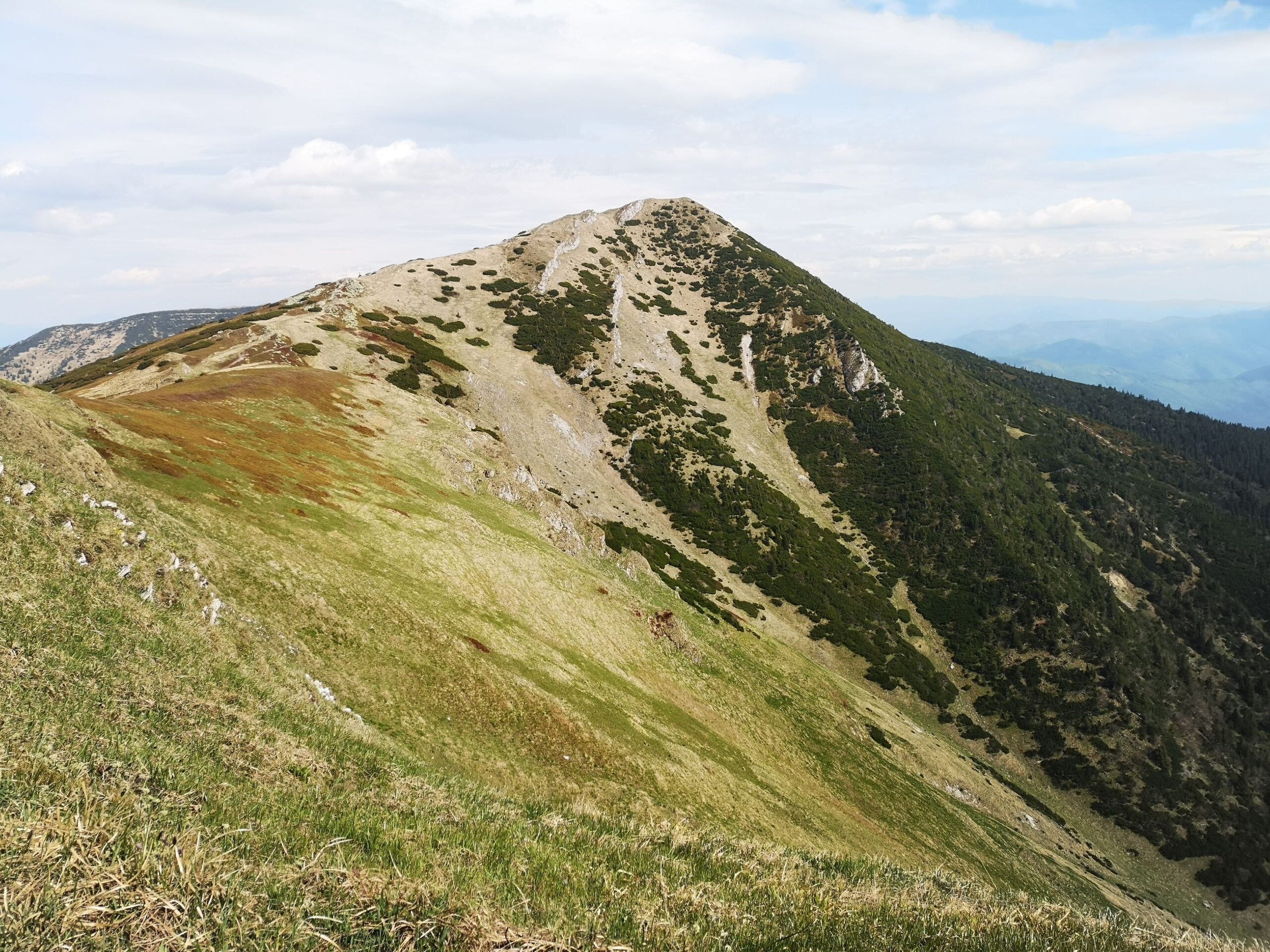
The second-highest summit in the range and its grassy neighbour are among the quietest places in the Veľká Fatra. Rakytov sits off the main line of the crest, while Ploská is the junction where the ridge paths meet above Chata pod Borišovom. The easiest approaches are from the Ľubochnianska valley or from the hut. Carry plenty of water: there are no springs on the open grass.
7. Kráľova studňa (1,384 m): the gateway to the main ridge
Watch the numbers here, because two of them get confused. The summit of Kráľova studňa (“the king’s well”) stands at 1,384 m, while the mountain hotel in the saddle below it sits at 1,277 m. A tarmac road runs up to the hotel, which makes this the least strenuous way onto the crest. On foot, start from the Malý Šturec saddle: 907 m of ascent and under four hours. From the hotel the red waymarks continue to Krížna and Ostredok. In winter it is the hub for cross-country skiers.
8. Gaderská dolina: the main artery of the range
The 18-kilometre Gader valley, starting at Blatnica, is the best known in the Turiec half of the range. A firm surfaced track runs up it, so it works equally well on foot or by bike. The short version is 7.2 km with just 118 m of ascent; the longer one is 14.5 km and 401 m to the Veterné area. The Konský dol side valley branches off here towards Tlstá and Ostrá.
9. Čertova brána (the Devil’s Gate)
A vast natural rock arch in the Vlkanová valley, the doorway into the Selenec basin. It is just under 8 km from the car park in Blatnica, and the walking is easy all the way. It pairs beautifully with a bike: ride the valley, walk the last stretch.
10. Blatnický hrad (Blatnica Castle)
A ruined castle on a limestone spur about 2 km from the village. An interpretation trail 1.8 km long leads out of Blatnica, and the branch up to the castle involves around 125 m of ascent and takes roughly 50 minutes. A good half-day, ideal with children or when the tops are socked in.
11. Blatnická dolina
An eight-kilometre limestone valley immediately next door to the Gader. It carries more water, the stream drops in small cascades, and the endemic Cyclamen fatrense grows here. It is the main approach from the Turiec side to Krížna and Kráľova studňa. Motor vehicles are banned outright, which is why it stays peaceful even at weekends.
12. Necpalská dolina
Eleven kilometres of valley running from the village of Necpaly to the foot of the climb up to Borišov. There is a tarmac lane along it, but driving it requires a permit, so in practice it belongs to walkers and cyclists. The blue waymarks carry on from here to Chata pod Borišovom.
13. Ľubochnianska dolina: the longest valley in Slovakia
Just under 25 km of valley running in from the northern side of the range. On foot it is more of a transfer than a day out; on a bike it is a treat. From it you can climb on the yellow waymarks to Chata pod Borišovom, or head for Rakytov.
14. Harmanecká jaskyňa (Harmanec Cave) and the trail up to it
One of Slovakia’s most important show caves lies at 828 m above the hamlet of Horný Harmanec. An interpretation trail 1,420 m long with 260 m of ascent leads up to the entrance and takes about 45 minutes. The guided route inside measures 1,020 m and lasts around an hour; the cave holds a steady 5.8 to 6.4 °C. Admission is €10, children €5, students and over-60s €9 (roughly £8.40, £4.20 and £7.60).
💡 Tip: Bring a fleece even in August, and shoes you can climb in. People turn up in sandals and then discover that “cave” here means three quarters of an hour uphill first.
15. The yew woods at Harmanec
The national nature reserve Harmanecká tisina protects the largest stand of English yew in central Europe. It was declared in 1949, covers 20 hectares and carries the fifth and strictest level of protection. Note carefully: the reserve itself is closed to visitors, as is the neighbouring Padva reserve — there is no legal way in and no path. You do not need one, though: yew grows throughout the Harmanec valley and you will walk past plenty of it on the way to the cave.
16. Smrekovica (1,530 m): a hill for the atmosphere, not the view
Smrekovica stands on the eastern edge of the national park above Podsuchá. Let us be honest about it: the summit is wooded, there is no view and no waymarked path to the top. What is worth having is everything around it. A tarmac road and a blue-waymarked path climb from Podsuchá to the mountain hotel; in winter this is a base for cross-country skiing and ski touring, in summer the start of walks onto the Liptov arm of the ridge.
17. Vlkolínec and the hill of Sidorovo
The hamlet of Vlkolínec, at 718 m, has been a UNESCO World Heritage Site since 1993 and consists of 45 log houses, still lived in. Admission is €8, concessions €4, under-6s free (about £6.70 and £3.40). Above the village rises Sidorovo (1,099 m), a short but steep climb with a fine view over the Váh valley. A perfect half-day from Ružomberok, and the one item on this list that works in the rain.
18. Turčianske Teplice: the rest day
A spa town at 518 m with seven mineral springs at 38 to 46 °C, among the oldest thermal baths in Slovakia. There is a water park with eight pools and a sauna world. It is 25 km from Martin and 34 km from Banská Bystrica, and trains stop here. Keep it in the back pocket for the day it rains or your legs give out.
Distances, ascent and difficulty at a glance
British readers should mentally add a grade: Slovak “medium” walks tend to be steeper and longer than the same word implies at home, and there is very little in the way of stone-pitched path.
| Route | Trailhead | Distance / ascent | Difficulty |
|---|---|---|---|
| Krížna | Staré Hory | 7.5 km, 1,092 m, about 3.5 h up | strenuous |
| Krížna | Turecká | 962 m of ascent, under 3 h | strenuous |
| Ostredok and Krížna | Chata pod Borišovom | 525 m of ascent, under 3 h | moderate |
| Kráľova studňa | Malý Šturec saddle | 907 m of ascent, under 4 h | strenuous |
| Blatnický hrad castle | Blatnica | 1.8 km trail, 125 m on the branch, about 50 min | easy |
| Gaderská valley to Dedošová | Blatnica | 7.2 km, 118 m | easy, pushchair-friendly |
| Gaderská and Dedošová to Veterné | Blatnica | 14.5 km, 401 m | moderate, better by bike |
| Čertova brána | Blatnica | just under 8 km one way | moderate |
| Harmanecká jaskyňa cave | Horný Harmanec car park | 1.42 km, 260 m, about 45 min | moderate |
Getting to the Veľká Fatra from the UK
Nobody flies to the Veľká Fatra. You fly to a city two to three hours away and come in by train or hire car — and the train option is genuinely good here, which is not true of every mountain range in Europe.
Airports
Žilina has an airport but no scheduled passenger flights, so ignore it. In practice you land at one of five, and all of them are a manageable transfer:
- Ostrava (OSR), Czech Republic — about 150 km, the nearest, but a thin route network.
- Katowice (KTW), Poland — about 185 km, well served by budget airlines from the UK.
- Bratislava (BTS), Slovakia — about 200 km, and the only one that puts you on a direct domestic train.
- Kraków (KRK), Poland — about 200 km, sensible if you are combining the trip with the Tatras.
- Vienna (VIE), Austria — about 250 km, the widest choice of flights, with easy onward connections via Bratislava.
By train: Martin and Ružomberok are the gateways
This is the part worth reading twice if you are not hiring a car. Martin and Ružomberok both sit on the main Žilina–Košice railway line, which is fast, frequent, cheap and reliable — the backbone of the Slovak network. Between them they open up the entire western and northern side of the range. Ružomberok puts you within reach of Vlkolínec, Smrekovica and the Ľubochnianska valley; Martin is the base for Blatnica, Necpaly and the limestone valleys.
Two further lines matter. Turčianske Teplice is on the Vrútky–Zvolen line, and the Harmanec valley is served by the Horná Štubňa–Banská Bystrica line, which burrows through the longest railway tunnel in Slovakia (4,697 m). Buy tickets through the ZSSK website or app; local trains never need a reservation.
From the stations, buses do the last leg. Blatnica is reached by bus from Martin, and for the cave there is a stop called Harmanec, Horný Harmanec, jaskyňa right at the trailhead. Services thin out sharply at weekends and in the evening, so check the return journey before you commit to a walk — the timetable, not the daylight, is usually what ends a Slovak hiking day.
By car and the motorway vignette
If you drive or hire, remember the Slovak motorway vignette (diaľničná známka): it is electronic, tied to the number plate, and bought online before you use a motorway. A 10-day vignette costs €10.80 and an annual one €90 (roughly £9 and £76). Approaches to the range are from Martin and Ružomberok in the north, Banská Bystrica in the south via the Harmanec valley, and Turčianske Teplice in the west.
Parking in Blatnica, and why you cannot drive up the valleys
Parking at Blatnica is the most common practical question about the range, so here it is in full:
| Car park | Price | Notes |
|---|---|---|
| By the manor house (80+ spaces) | €4 a day, car or motorbike (about £3.40) | campervan €6, coach €15, disabled badge holders free |
| At the mouth of the Gaderská valley (47 spaces) | first 10 minutes free, then €1.50 an hour, €6 a day (about £5) | vehicles longer than 5.5 m are not admitted |
| Opening hours | 24 hours | pay by SMS to 2200, QR code, card terminal or at the kiosk by the barrier |
Beyond the car parks, the valleys are closed to cars. Motor vehicles are banned from the Blatnická valley altogether, and the tarmac lane up the Necpalská valley may only be driven with a permit. Treat it as a feature rather than a restriction: it is why the valleys are quiet, and it is why a bike gets you so far so pleasantly.
💡 Tip: On a sunny Saturday the Gaderská valley car park fills by mid-morning. Go straight to the manor house car park instead — it is bigger, cheaper for a full day, and the mouth of the valley is only a few minutes’ walk away.
Veľká Fatra National Park: the rules, and the bears
The national park was created in 2002 by upgrading what had been a protected landscape area. It covers 40,371 hectares with a buffer zone of a further 26,132, and contains 15 national nature reserves and 5 nature reserves. The rules that affect walkers fit into three sentences. Walking, camping and bivouacking outside the waymarked paths are prohibited. Dogs must be on a lead. Reserves under the fifth level of protection — Harmanecká tisina and Padva among them — are off limits entirely, with no visitor access of any kind.
That is stricter than the access most British walkers are used to, and it is enforced. There is no right to roam here and no wild camping: the only legal night out in the mountains is a bunk in a hut.
Bears: what you actually need to know
The Veľká Fatra is core brown bear territory, as are the Malá Fatra, the Tatras and Poľana. Sightings are uncommon and attacks are rarer still, but plan for the possibility: stay on the waymarked paths, walk in twos or threes rather than alone, make noise in the woods — especially at dawn and dusk — and never leave food or rubbish outside overnight. Since April 2025 an emergency situation over bear encounters has been in force across 55 Slovak districts, and as of August 2026 it still stands. The advice from the State Nature Conservancy is short and worth memorising: do not run, do not stop for a photograph, and back away slowly.
💡 Tip: Save the number for Slovak mountain rescue: 18 300. It works nationwide, and the service has an app that sends your position. The European emergency number 112 works everywhere in the country too.
Veľká Fatra hiking in winter
Winter here is glorious and easy to underestimate. The grass ridges become open snowfields where the wind blows hard, the temperature drops and there is nothing to navigate by. The crest between Krížna, Ostredok and Ploská in winter needs map and compass, a GPS track, proper cold-weather kit and an understanding of the avalanche forecast. It is closer in seriousness to the Cairngorm plateau in February than to a snowy day in Snowdonia.
For an ordinary winter day out, the valleys are the answer. The Gaderská and Blatnická valleys stay passable through most of the winter and the scenery between snow-covered limestone walls is worth the trip on its own. Kráľova studňa and Smrekovica are the bases for cross-country skiing and ski touring, both reached by road. Check conditions with mountain rescue before you set off, and expect the occasional path to be closed at short notice for avalanche risk or forestry work.
Maps and navigation
Buy the paper walking map of the Veľká Fatra at 1:50,000. It covers the whole range on one sheet and works with a flat phone battery, which matters more than it sounds: mobile signal on the crest is patchy. As a supplement, use the hiking layer on hiking.sk or Freemap Slovakia, or any outdoor app with the area downloaded for offline use before you leave the valley.
Waymarking is done by the Slovak Hiking Club and is excellent: a coloured stripe between two white stripes on trees and rocks, in red, blue, green or yellow, with red conventionally reserved for the main ridge routes. As noted above, signposts give walking times in hours rather than distances — assume those times are for someone fit, moving steadily and not stopping to eat.
Hiking with children and pushchairs
The valleys make the Veľká Fatra unusually kind to families. You can push a buggy up the Gaderská valley, where the track is surfaced and the first seven kilometres gain only 118 m. An all-terrain pushchair copes easily; a city model will survive, but you will feel every stone.
- Blatnický hrad castle (1.8 km interpretation trail, about 50 minutes on the branch path) is the first “real” hill for a four-year-old.
- Harmanecká jaskyňa cave is a hit with school-age children, but remember the 260 m of ascent to reach the entrance.
- Vlkolínec is flat, small and works in any weather.
- Turčianske Teplice rescues a wet day or a heatwave.
- Ostrá, Tlstá and the main ridge are not for small children. Above the valleys, a child carrier is the only realistic option.
Where to stay
Four bases cover the range: Blatnica for the valleys and the western summits, Martin for shops, stations and services, Ružomberok for the north and Vlkolínec, and Turčianske Teplice if you want to combine the hills with a spa. Up in the mountains themselves there are Chata pod Borišovom, the Kráľova studňa hotel and the hut on Smrekovica, all of which need booking in advance. We go through the options in detail in a separate guide to hotels and huts in the Veľká Fatra; here are the search links: places to stay in and around Blatnica → and places to stay in Turčianske Teplice →.
Thinking of walking the whole ridge?
The multi-day traverse of the main crest is a subject of its own — how to split the stages, where the water is, sleeping at the hut and getting back to your car at the end. We cover the whole thing in a separate guide to the Veľká Fatra ridge hike; this article sticks to days out you can do from a base.
The most common mistakes
- Treating the ridge as an afternoon walk. Krížna is over a thousand metres of ascent from the valley floor.
- Carrying too little water. There are no springs on the open grass; two litres a person is the summer minimum.
- Assuming there will be a circuit. Most routes here are out-and-back, and the loops come out long.
- Driving into a valley. It is prohibited, and it is fined.
- Underestimating winter. The grassy tops look benign, but wind and drifted snow turn an ordinary walk into a serious day.
- Missing the last bus. Weekend services are sparse; check the return before you set out.
Where to go next
If the range has got under your skin, the obvious follow-ups are the multi-day traverse of the Veľká Fatra crest, a round-up of hotels, huts and guesthouses across the range, and the neighbouring Malá Fatra — its own ridge hike, the ladders and walkways of the Jánošíkove diery gorges, the summits of Veľký and Malý Rozsutec with their spring closures, and where to base yourself in Terchová. Further west, the Súľov Rocks make an excellent shorter day out from Žilina, and there is plenty more to see across Slovakia if you are building a longer trip.
Velka Fatra hiking: frequently asked questions
Where is the Veľká Fatra, and how does it differ from the Malá Fatra?
The Veľká Fatra is in central Slovakia, in the square between Martin, Ružomberok, Turčianske Teplice and Banská Bystrica. It is larger, gentler and far quieter than the Malá Fatra just to the north-west across the Turiec basin, with grassy ridges instead of rock spires and deep limestone valleys cut into its western side. Do not confuse either of them with Veľká Rača, which is a ski resort on the Polish border and merely has a similar name.
What is the highest mountain in the Veľká Fatra?
Ostredok, at 1,595.58 m, usually rounded to 1,596 m. Older sources give 1,592 m, which was the accepted figure until a resurvey in 2016. Next come Frčkov (1,585 m), Krížna (1,574 m), Rakytov (1,567 m), Ploská (1,532 m), Smrekovica (1,530 m) and Borišov (1,510 m).
Which is the best hike for a first visit to the Veľká Fatra?
With a full day and reasonable fitness, walk up Krížna from the village of Turecká: 962 m of ascent and under three hours to the top, with a 360-degree view. For something shorter, take the Gaderská valley combined with Blatnický hrad castle, or climb Tlstá and Ostrá from Blatnica.
Can you hike in the Veľká Fatra without a car?
Yes, and more easily than in many European ranges. Martin and Ružomberok both sit on the main Žilina–Košice railway line, which is fast, frequent and cheap; Turčianske Teplice is on the Vrútky–Zvolen line and the Harmanec valley is served by the Horná Štubňa–Banská Bystrica line. Buses run from Martin to Blatnica, and there is a stop at the Harmanec cave trailhead. Weekend and evening services are sparse, so check the return journey before you start walking.
How much is parking in Blatnica for the Gaderská valley?
The car park at the mouth of the Gaderská valley has 47 spaces: the first 10 minutes are free, then it is €1.50 an hour and €6 for a whole day (about £5). Vehicles longer than 5.5 m are not admitted. The larger car park by the manor house costs €4 a day for a car (about £3.40). You can pay by SMS to 2200, by QR code, by card terminal or at the kiosk by the barrier.
Are there bears in the Veľká Fatra?
Yes, the Veľká Fatra is one of the core areas for brown bears in Slovakia, though encounters are uncommon. Stay on the waymarked paths, walk in a group and make noise, and never leave food or rubbish outside. Since April 2025 an emergency situation over bear encounters has applied across 55 Slovak districts and it was still in force in August 2026. If you do meet one: do not run, do not stop for a photograph, and back away slowly.
Is the Veľká Fatra good for hiking in winter?
The valleys, yes; the ridge, only for the experienced. The Gaderská and Blatnická valleys stay passable through most of the winter, and Kráľova studňa and Smrekovica work as bases for cross-country skiing and ski touring. The open ridges between Krížna, Ostredok and Ploská demand winter kit, navigation skills and knowledge of the avalanche situation. Unlike the Malá Fatra, where several paths close from 1 March to 15 June, no blanket seasonal closure has been confirmed in the Veľká Fatra, but short-notice restrictions do happen — check with mountain rescue on 18 300.
How much is Harmanec Cave, and how long is the walk up to it?
Admission is €10 for adults, €5 for children aged 4 to 15 and €9 for students and over-60s (roughly £8.40, £4.20 and £7.60). From the car park an interpretation trail 1,420 m long with 260 m of ascent leads to the entrance and takes about 45 minutes on foot. The guided route inside measures 1,020 m and lasts around an hour, at a constant 5.8 to 6.4 °C.
Read next
Potřebujete pomoct s cestováním?
-
Ubytování 🏨
Vyberte si to nejlepší ubytování, ať už jste kdekoliv, přes Booking.com. -
Půjčení auta 🚗
Auto si snadno najdete přes Booking.com, kde máte často slevu díky ubytování, nebo Rentalcars.com, kde porovnáte nabídky většiny půjčoven. -
Zážitky 🎟️
Přes GetYourGuide.com si vyberete z nejrůznějších výletů i zážitků po celém světě, navíc se zrušením zdarma do 24 h předem.